
Drone Roof Inspection in Daly City, CA
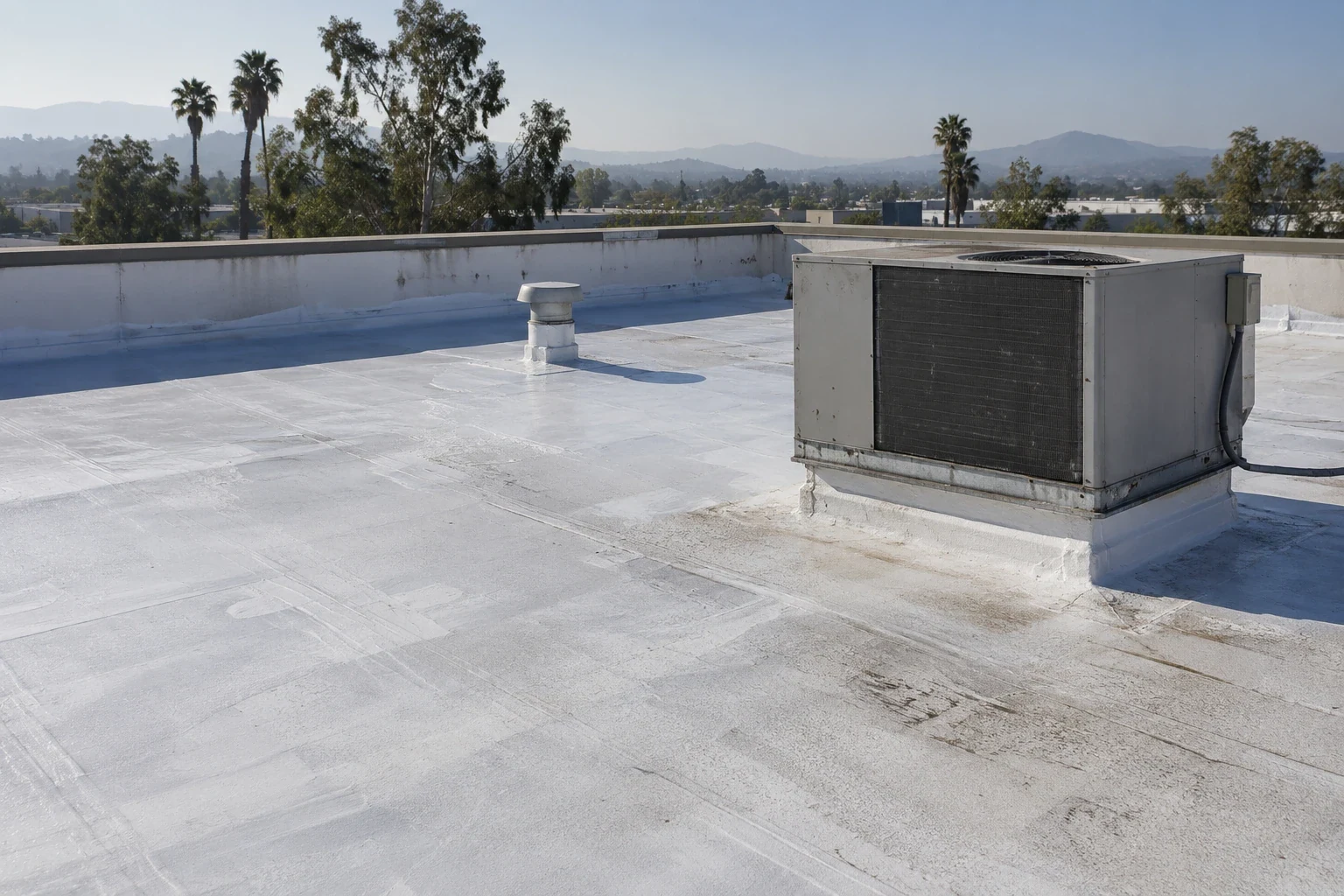
Drone Roof Inspection in Daly City
Use drone roof imaging in Daly City to document broad surfaces and hard-to-access details, then verify repair questions on the roof.
Aerial images can show roof areas that are difficult to see from a hatch or ladder, but they do not replace a hands-on inspection. We use drone imaging to capture the broader layout, compare roof sections, and identify details that need closer review. The general contractor receives a visual record tied to the roof plan, with limits stated where shadows, equipment, weather, or safe flight conditions affect the view. Any suspected defect that needs a repair decision is checked at the surface when access allows.
Daly City's plan identifies commercial areas such as Westlake, Serramonte, Mission Street, and Bayshore. Those locations frame the municipality but do not describe any particular roof. Drone images document the assigned building and its visible conditions, not an assumption about a district's construction. We can pair imagery with a hands-on roof inspection so the contractor has both a wide view and detail observations. Flights across the Daly City service area follow the same labeling and permission steps.
What the camera adds: layout and a wide view
From above, a camera can help the project team understand roof geometry, transitions, equipment layout, and the relationship between roof sections. Images can reveal a blocked route, a change in membrane, or a concentration of rooftop penetrations worth reviewing. We label each view with a location reference and date. The image should not be treated as a measurement of moisture, attachment, or membrane condition unless a separate method supports that conclusion.
Drone imagery is most useful when it answers a defined question: which areas need a close walk, where the roof plan needs correction, or whether a later inspection can compare the same view. It can support condition reporting with a consistent visual index. It does not determine whether a seam is welded, whether insulation is wet, or whether a curb flashing is bonded. Those details require surface inspection and, when warranted, testing. We say what the camera shows and what remains a field question.
Limits and permissions: weather, airspace, access
Every flight depends on weather, airspace, site access, and the operator's ability to keep people clear of the work area. The property contact confirms site rules and any sensitive operations before launch. We select a path that avoids unsafe proximity to people and equipment and pause when visibility or wind makes the image unreliable. The report notes obstructed areas, glare, shadow, and other limits. If an area cannot be imaged, the team decides whether a ground-based inspection can answer the question.
Images are not a substitute for design documents, code review, or testing. A bright or dark region does not by itself prove wet insulation. A surface irregularity may reflect equipment, shadow, or a change in slope. We compare imagery with the roof plan and follow up on the roof where the decision affects a repair or replacement. If moisture is the question, a thermal survey has its own conditions and verification requirements. The deliverable separates visual documentation from conclusions that need another method.
Map roof areas: label what the camera sees
The image set should make orientation simple. We label elevations, roof sections, edges, equipment clusters, and visible drainage paths with terms that match the contractor's plan. If the current plan is incomplete, the imagery can help the GC mark areas for a field update. The team can then assign a repair or inspection zone without relying on a screenshot that lacks scale or context. We avoid describing a surface feature as a defect until the detail is checked at close range.
A portfolio team looking across Daly City and San Francisco can index both sets of images the same way, while each image set remains specific to the property flown. We label the assigned roof areas and verify any suspect detail on the surface.
From image to field check: verify what the images flag
When an image flags a seam, penetration, curb, or drainage concern, we put that item on a field list. The close inspection verifies what is visible from the roof and whether moisture or movement is present. We capture a close photo, record the section, and recommend repair or testing only when the evidence supports it. If the project team is coordinating a new unit or solar work, the GC can identify the responsible trade and agree on the sequence before anyone cuts into the membrane.
Daly City identifies mixed-use and commercial activity around Mission Street and Geneva Avenue. That planning material helps describe the city's broad commercial geography, not a flight path or building use. Our drone plan is based on the actual property and permission conditions. If imagery shows a possible equipment curb conflict, the field team checks the flashing and support detail. A wide view is valuable when it sends the right person to the right roof location with a specific question.
Project handoff: deliver an indexed image set
We deliver the image set with an index, location labels, and a concise list of items that require field confirmation. The general contractor can use it to coordinate access, estimate which roof zones need closer inspection, and align trades around equipment and drainage. We identify the limits of the capture and avoid using imagery to support claims it cannot establish. If the contractor needs a repair scope, the field visit supplies the surface observations and the marked image gives the team a shared location reference.
Pacifica's commercial planning also covers centers along Highway 1. For a contractor coordinating aerial documentation across neighboring cities, a city-level place name helps sort the project record, but the flight boundary comes from the actual property authorization. The image index records only the roof area captured, the view orientation, and any obstruction. A suspected seam or curb issue still goes onto a field list for close inspection before a repair scope is prepared.
We keep the file useful to a person who was not on the roof during capture. Each image carries a section reference, and the notes tell the reader whether an item is only visible from above or has been checked at close range. That distinction matters for budget review: an image can identify where to send a technician, while the technician defines the repair. When a contractor compares imagery from more than one visit, the capture dates and matching views provide context without claiming that the surface stayed unchanged between them.
We also preserve a useful file name for each roof area and keep the orientation consistent. The project team can retrieve an image during a later repair meeting without mistaking one elevation for another. That small record choice makes the field handoff faster and clearer.
On an industrial property, a marked aerial view can help the GC assign a roof zone to the correct trade before access is scheduled. It can show relationships among equipment and the field membrane, but the surface condition still has to be checked. A warehouse roof plan benefits when image labels match the hatch route, drains, and equipment IDs supplied for that building. We use those identifiers only when the project team provides them, then keep each observation attached to the correct view.
Questions About Drone Roof Inspection
Commercial Roofing Questions
Can drone images confirm a leak source?
No. They can show roof layout and visible conditions, while a field inspection traces the water path and tests suspected details.
Will the drone inspect every roof area?
The capture depends on safe flight, weather, airspace, and site permission. The record identifies areas that could not be imaged.
Can aerial imagery replace a roof walk?
No. We use images to guide and document the inspection. Seams, flashings, and suspected defects require closer review.
What should the contractor receive?
A labeled image set, a roof-area index, capture limits, and a short list of items that need field confirmation.
More Commercial Roofing in Daly City
Related pages
- hands-on roof inspection
- Daly City service area
- condition reporting
- thermal survey
- equipment curb conflict
- warehouse roof plan
Browse by category
Arrange roof imaging
Send the property boundary, access authorization, and question the images should answer. We can plan a safe capture and field-check any suspected detail.